The Riparian Web Portal (RWP) is an award-winning website designed to encourage Albertans to conserve and improve riparian health for the benefit of current and future generations. One aspect of the RWP is to highlight great stories of riparian stewardship across the province to inspire people to follow suit. We wanted to take a closer look at one of these stories and see how it aligns with the goals and purpose of this innovative site.
RIPARIAN RWP 101: BRINGING TOGETHER DATA AND ACTION
Several Alberta watershed councils co-created the Riparian Web Portal to bring together both data and action. Interactive mapping allows users to get a snapshot of how intact riparian areas are at different scales: a waterbody, county, or watershed. The RWP also provides scientific information and program resources that support landowners and land managers in both conservation and restoration work for riparian areas. Real projects can be uploaded to the portal’s interactive map for others to learn and find inspiration. Senior project coordinator, Mary Ellen Shain, says, “The web portal is available to any conservation group working on riparian areas in Alberta. We encourage project coordinators to use the website to showcase their riparian restoration and conservation projects. Together, we can show-off the efforts of the collective stewardship community.”
STORY FROM THE RWP: LAND STEWARDS DAN & HARRIET LIDDLE
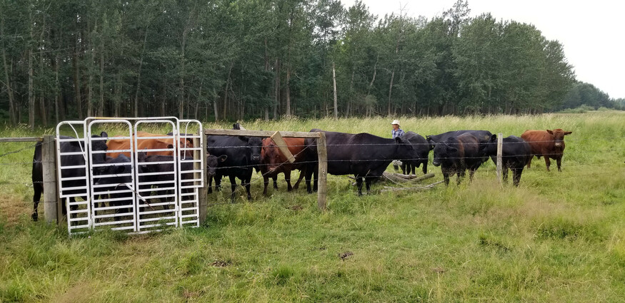
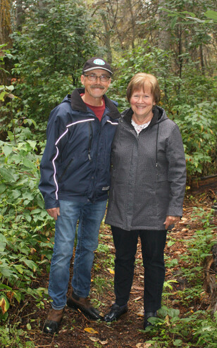
One landowner who is an enthusiastic supporter of the stewardship community is Dan Liddle. Dan Liddle began his career in land management with Public Lands and then worked as a teacher for over 30 years. He and his wife Harriet now live on a farm west of Wetaskiwin and work to sustainably manage their small cattle herd within the Battle River watershed.
In 2019, Liddle got involved with ALUS (formerly Alternative Land Use Services) because he “believed it was the right thing to do. I’ve always believed in land management because I think it is our responsibility to do the best we can to maintain a healthy ecosystem. And water is a key component of any community or ecosystem, so any decisions that we’ve made include maintaining a healthy water cycle.”
With the assistance of ALUS and the Canadian Agricultural Partnership (CAP) programs, the Liddles fenced off nine acres of wetlands to restrict cattle grazing and developed a dugout and a dam. Water is pumped from the enclosed dugout into a stock tank to preserve the water quality of the dugout. Liddle adds, “This project allows the water to remain in the wetland and then the water gradually seeps in to replenish the groundwater. Also, it provides wildlife habitat and increases the biodiversity.”
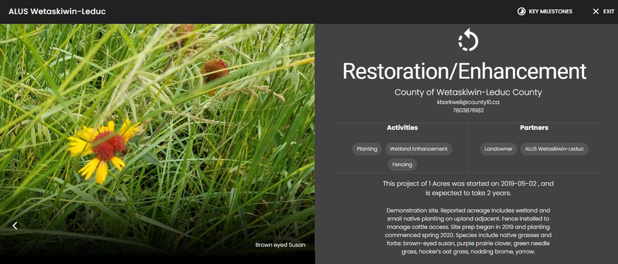
On land now owned by his son, Liddle added another ALUS project along a drainage way in 2021. The ephemeral creek only runs in the spring and dries up in the summer. Liddle says, “We maintain a grassed buffer right across a cultivated field, so that the people who were cultivating it now leave the grass intact.” The buffer is mainly reed canary grass, which thrives in places with periodic flooding, mixed in with other native grasses and sedges, while orchard grass and alfalfa were seeded on high spots. Liddle emphasizes how this riparian buffer “filters nutrients and sediments from the adjacent fields and prevents them from running downstream.” This work earned the Liddles an Otis Award from the Battle River Watershed Alliance in 2021.
SEEING THE BIGGER PICTURE & INTERCONNECTIONS
Understanding the broader picture of how water is connected to other places and people is brought home through the RWP’s mapping component. Liddle speaks to these connections, saying, “This water runs downstream and impacts the water supply for the City of Wetaskiwin. . . If we reduce the amount of sediment and nutrients going into the lake, that would help for anybody who is trying to treat that water and keep it decently healthy.”
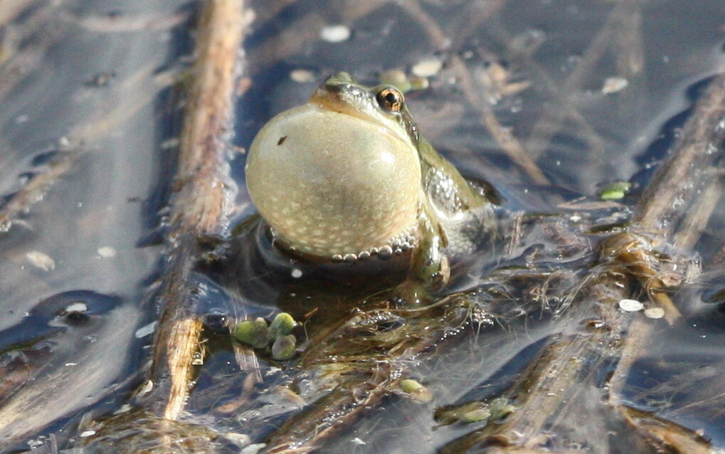
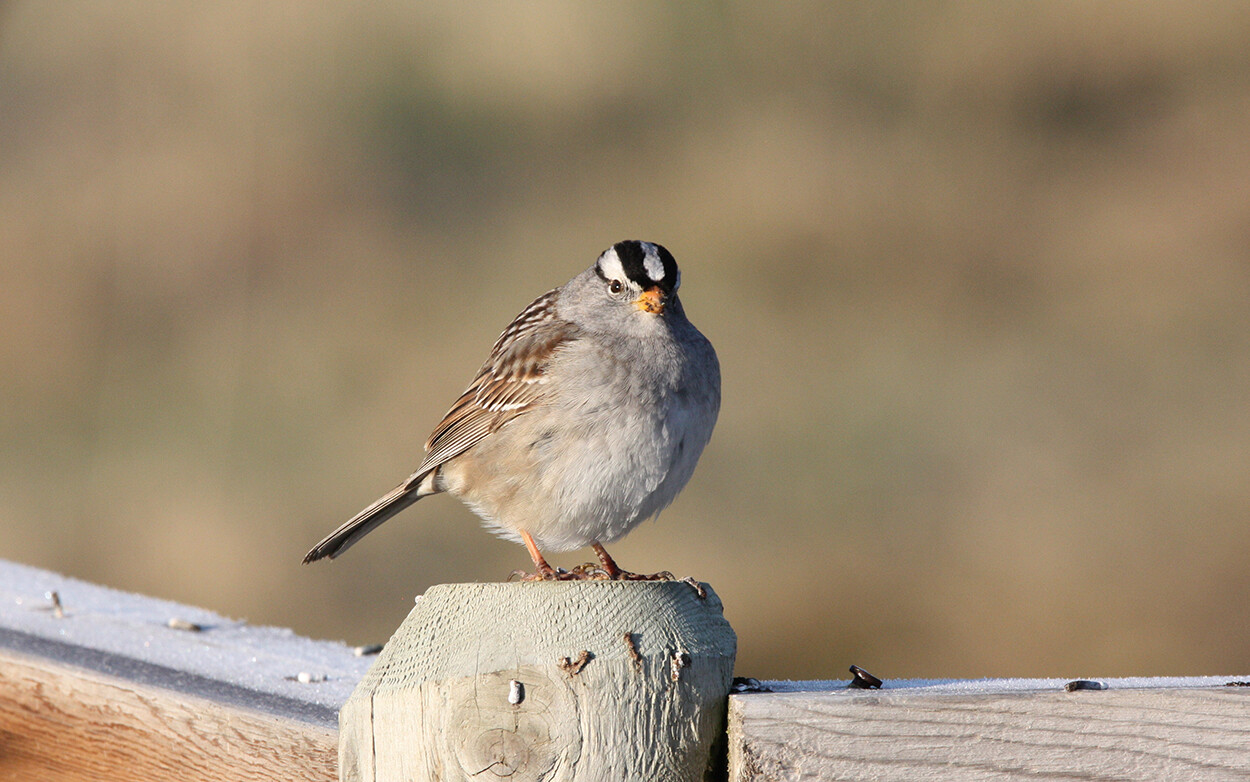
These impacts are not only shared by humans, but the wildlife and birds who rely on these riparian areas for food and habitat. When asked if he’s noticed more water being stored on his land, Liddle is very positive. “As a result of the project, we’ve kept back the water on this nine acres. There’s probably two or three acres where the water sits there for quite a while in the spring.” With a full dugout, the water gradually subsides and the Liddles have noticed “the frogs and ducks are all quite happy.” To allow ducks to finish nesting, Liddle “waits until sometime after July and then I cut whatever hay is available on that wetland. I’m still trying to make a living at this.” But, he adds that he only cut the portion that he needs. “If I don’t need a bunch of extra hay, then I just leave it.”
ROOM FOR LEARNING & GROWTH
As a former educator, it is clear that Liddle is passionate about better understanding his own land and how it is interconnected to the land around him. His project is now featured on the RWP and having used the portal himself, Liddle says he found the new tool quite exciting. Liddle found the RWP provides a lot of information about the greater picture of land management and noticed some nearby areas with no vegetation, which highlights the fact that there is always room for improvement. To see other projects like Dan’s go to: riparian.info (under the “Riparian Map Data” tab).
ALUS Wetaskiwin-Leduc Coordinator, Kim Barkwell, says that Liddle is an enthusiastic supporter of riparian projects and noted his interest in the RWP. As far as showcasing the various landowner projects, like the work being done by the Liddles, Barkwell says, “It’s a point of pride to have projects on there from your own community.” For her own work with landowners, Barkwell says, “Right now in terms of how we can use it, it’s more of a validation of project proposals. We can see where a project is on the landscape and how intact it is.” Like Liddle, Barkwell notes that the RWP helps understand which areas on the landscape are in need of restoration.
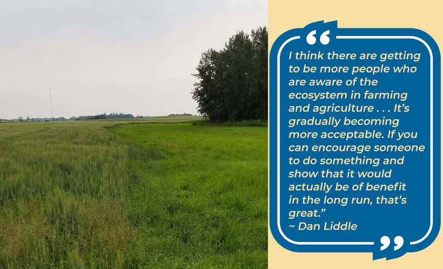
Liddle is optimistic that things are gradually changing, and says, “I think there are getting to be more people who are aware of the ecosystem in farming and agriculture, you hear it on the news and on the radio. It’s gradually becoming more acceptable. If you can encourage someone to do something and show that it would actually be of benefit in the long run, that’s great.”
FIND OUT MORE
- To learn more about what you can do to help riparian areas, visit the Riparian Web Portal at riparian.info
- Watch Dan Liddle's ALUS farm tour