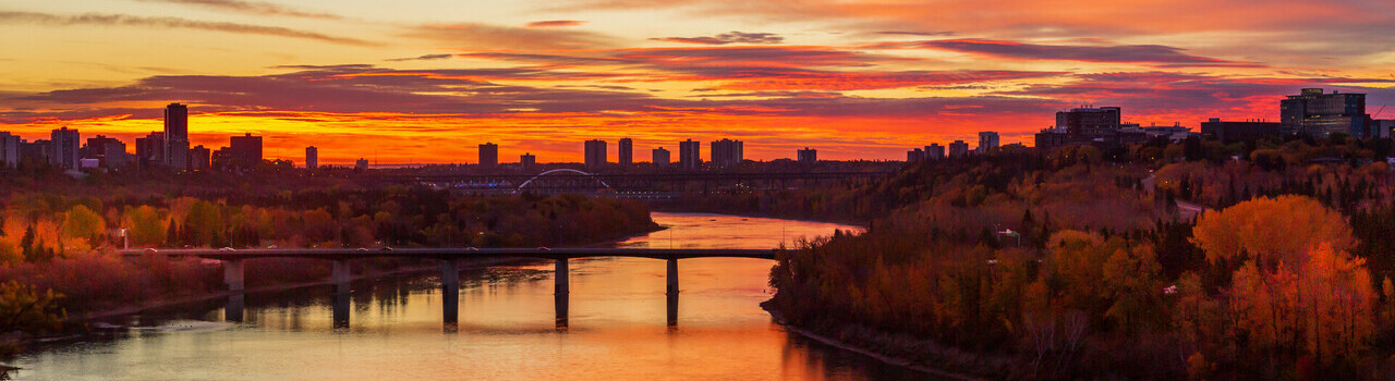
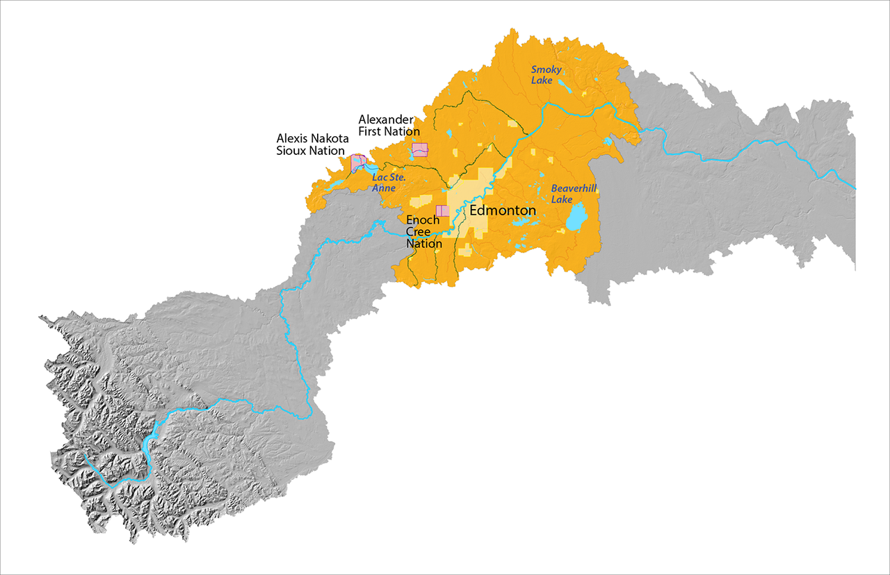
Lower Mid Reach

Map of the Upper Reach of the North Saskatchewan River Watershed is highlighted in yellow, while the rest of the map is greyed out. Some place names of indigenous reserves, lakes and urban areas are indicated, including Edmonton, Alexander First Nation, a Expand Image
Map of the Lower Mid Reach of the North Saskatchewan River Watershed.

About this reach

  • This reach shifts from Boreal natural region in the west to Central Parkland in the east
  • This is the most populated part of the watershed and includes the Greater Edmonton area
  • Land use is a mix of urban and rural, with recreational lakes in the west, Elk Island and the Beaver Hills Biosphere in the east, and includes the Industrial Heartland, and agriculture

What's happening in this reach