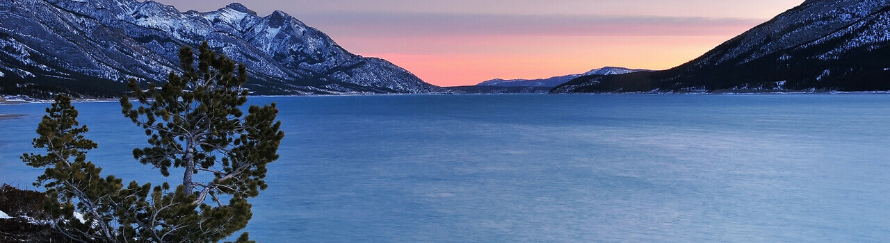
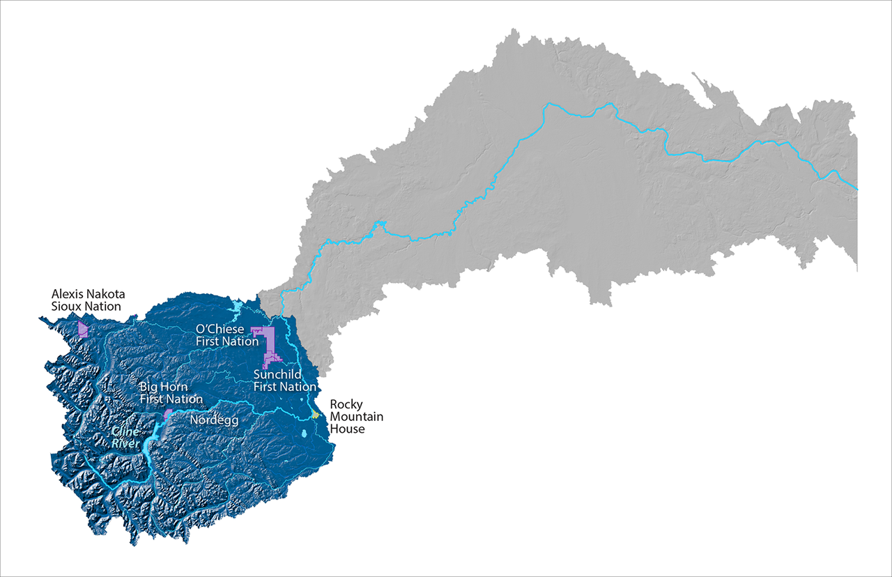
Upper Reach

Map of the Upper Reach of the North Saskatchewan River Watershed is highlighted in blue, while the rest of the map is greyed out. Some place names of indigenous reserves, waterbodies and urban areas are indicated, including Cline River, Rocky Mountain Hou Expand Image
Upper Reach of the North Saskatchewan River Watershed.

About this reach

  • This reach is part of the Rocky Mountain and Foothills natural regions
  • It falls inside the Green Area (unsettled region), where the river's headwaters begin at the Saskatchewan Glacier
  • Land use activities include forestry, recreational areas, public lands, and oil and gasĀ 

What's happening in this reach