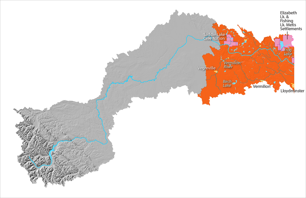
Lower Reach

Map of the Upper Reach of the North Saskatchewan River Watershed is highlighted in blue, while the rest of the map is greyed out. Some place names of indigenous reserves, waterbodies and urban areas are indicated, including the Vermilion River, Vegreville Expand Image
Lower Reach of the North Saskatchewan River Watershed.

About this reach

  • This reach is in the Central Parkland natural region and is known for agriculture and agri-industries
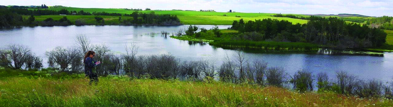
  • The Vermilion River is the main tributary to the North Saskatchewan River in this reach
  • Wetlands and groundwater are also an important part of the water system in this region

What's happening in this reach