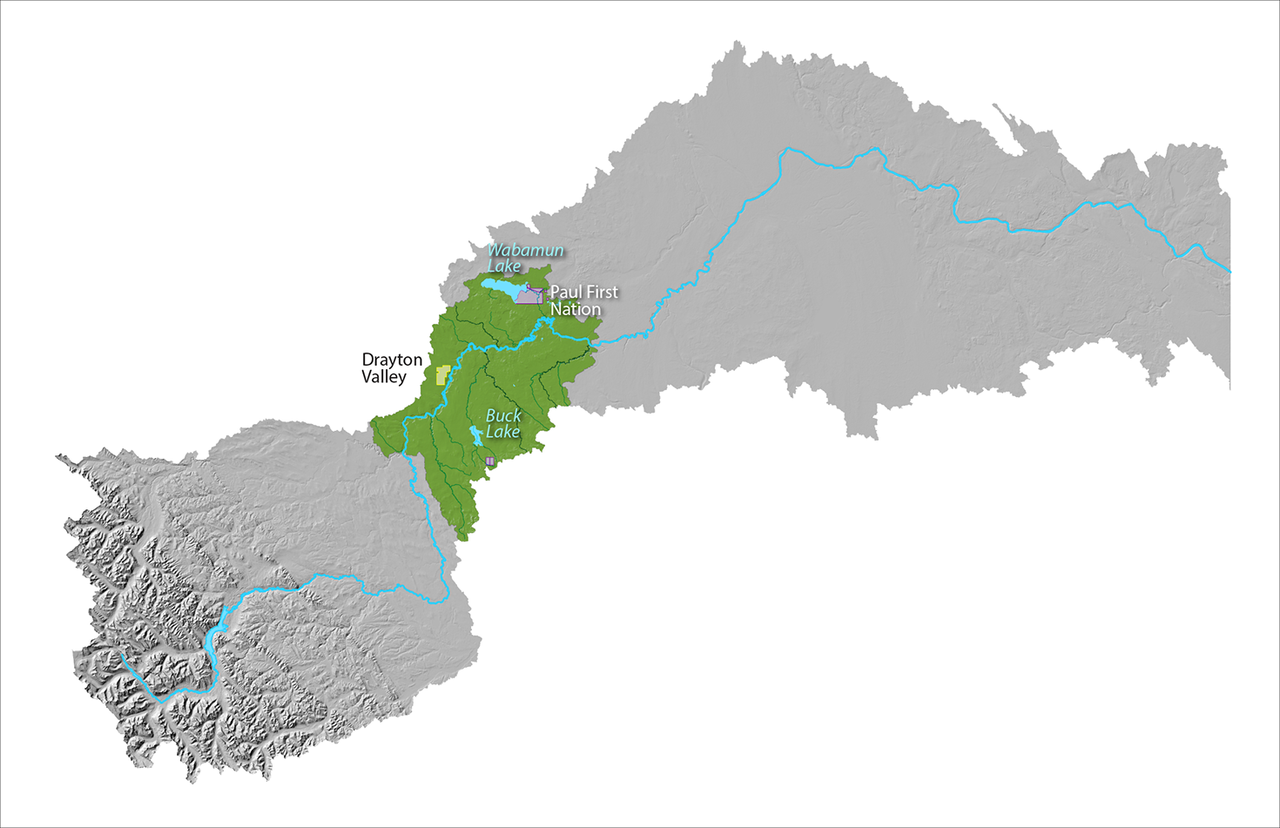
Expand Image Map of the Upper Mid Reach of the North Saskatchewan River Watershed. About this reach As the river travels, it moves through the Foothills natural region It also marks a shift to the White Area (settled region) of the watershed This area is mostly rural with land being used for recreation, agriculture, and industry What's happening in this reach Headwaters Alliance Modeste Natural Infrastructure Project Brazeau County Constructed Floating Wetland project