Read the Reports:
REPORT 1: WATERSHED MONITORING PROGRAM TECHNICAL PROGRESS REPORT 2018-2019
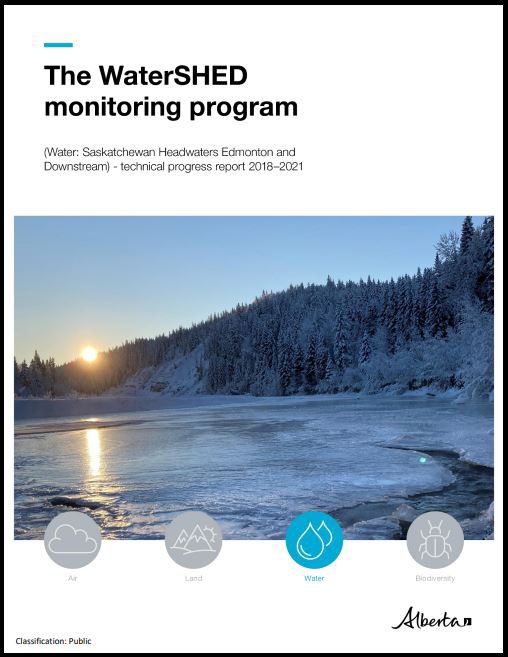
REPORT 2: WATERSHED MONITORING PROGRAM TECHNICAL PROGRESS REPORT 2018-2021
Read the Reports:
REPORT 1: WATERSHED MONITORING PROGRAM TECHNICAL PROGRESS REPORT 2018-2019
REPORT 2: WATERSHED MONITORING PROGRAM TECHNICAL PROGRESS REPORT 2018-2021
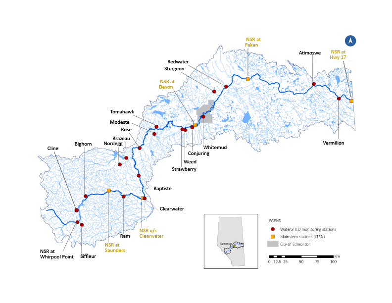
Monitoring Station Links: Live daily photos from these tributaries
Time Lapse Videos: See how a tributary's flow can change through the seasons
Atimoswe Creek
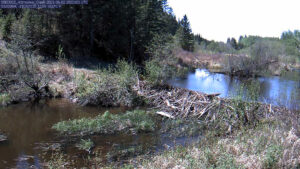
Photographs taken at the Atimoswe Creek water quality monitoring station, near Elk Point.
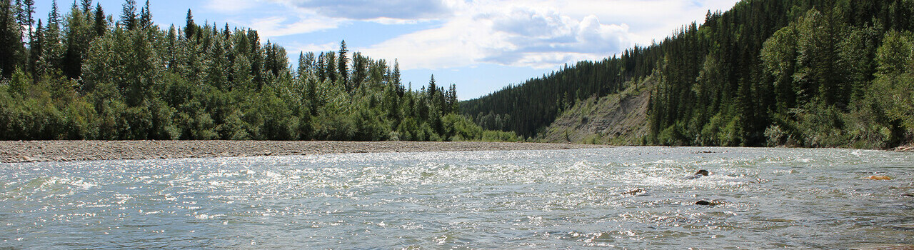
Siffleur River
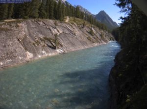
A year of photographs taken at the Siffleur River water quality monitoring station, near the headwaters.
Vermilion River
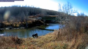
A year of photographs taken at the Vermilion River water quality monitoring station, taken near Lea Park.
Find more information on the monitoring stations at Alberta Environment and Parks or download the Alberta Rivers App